What I do.
Aerial inspection, site documentation, and marketing video for construction, facility, and property teams across Dallas–Fort Worth.
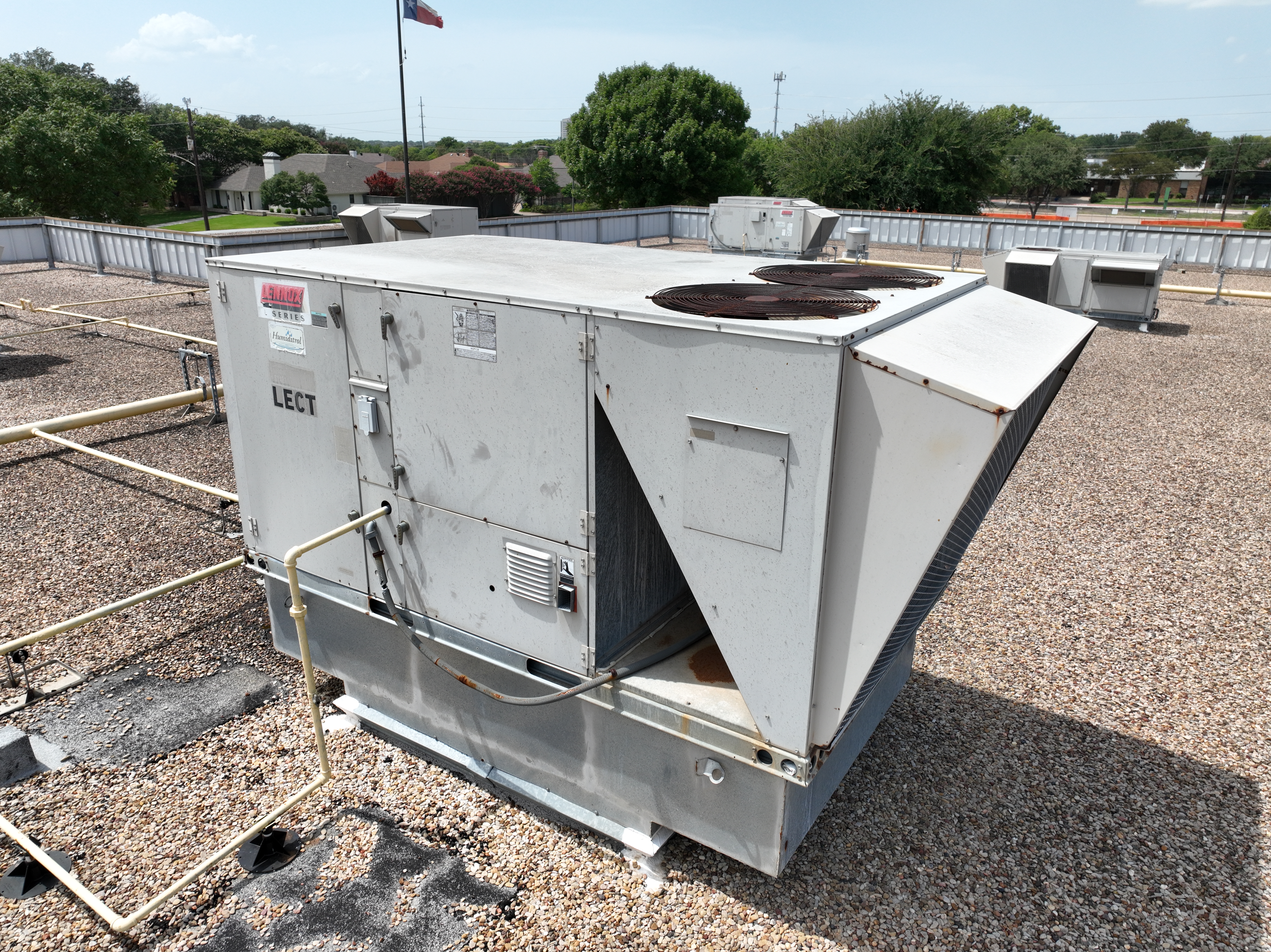
Aerial Inspection
Close-range photo and video of roofs, facades, and other hard-to-reach structures. You receive high-resolution footage to review or pass to your team.
High-resolution stills and video of the specific areas you need to see.
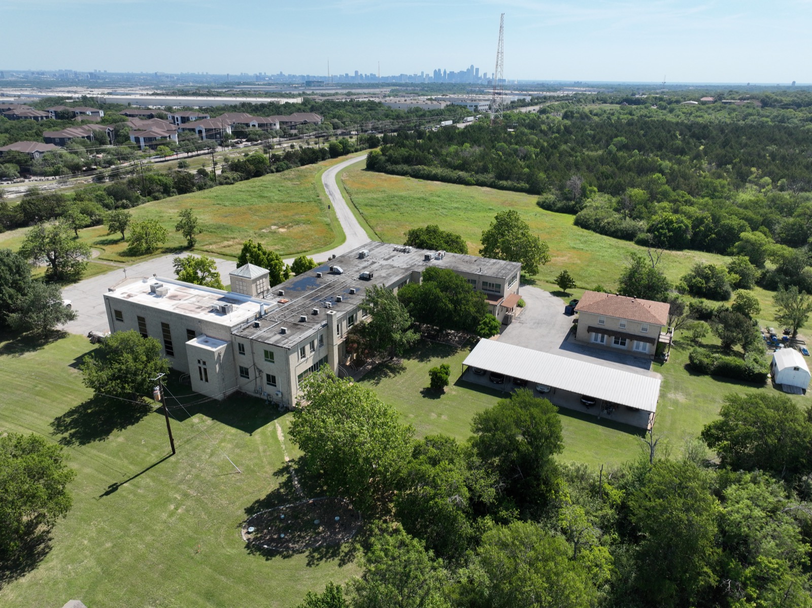
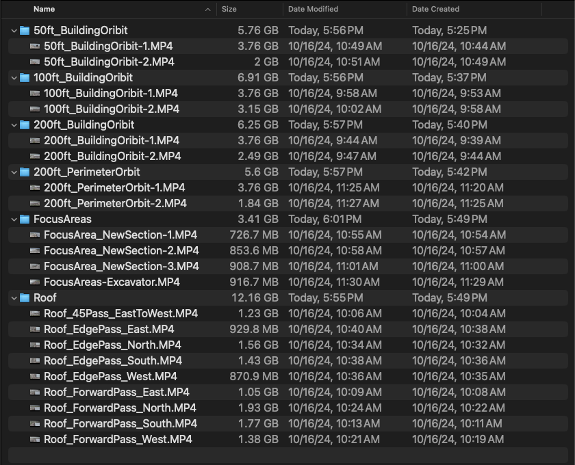
Site Documentation
Recurring aerial coverage of a project site. Consistent flight paths and angles on every visit for accurate progress comparison over time.
Labeled photo and video, organized by shot type. Three-day turnaround.
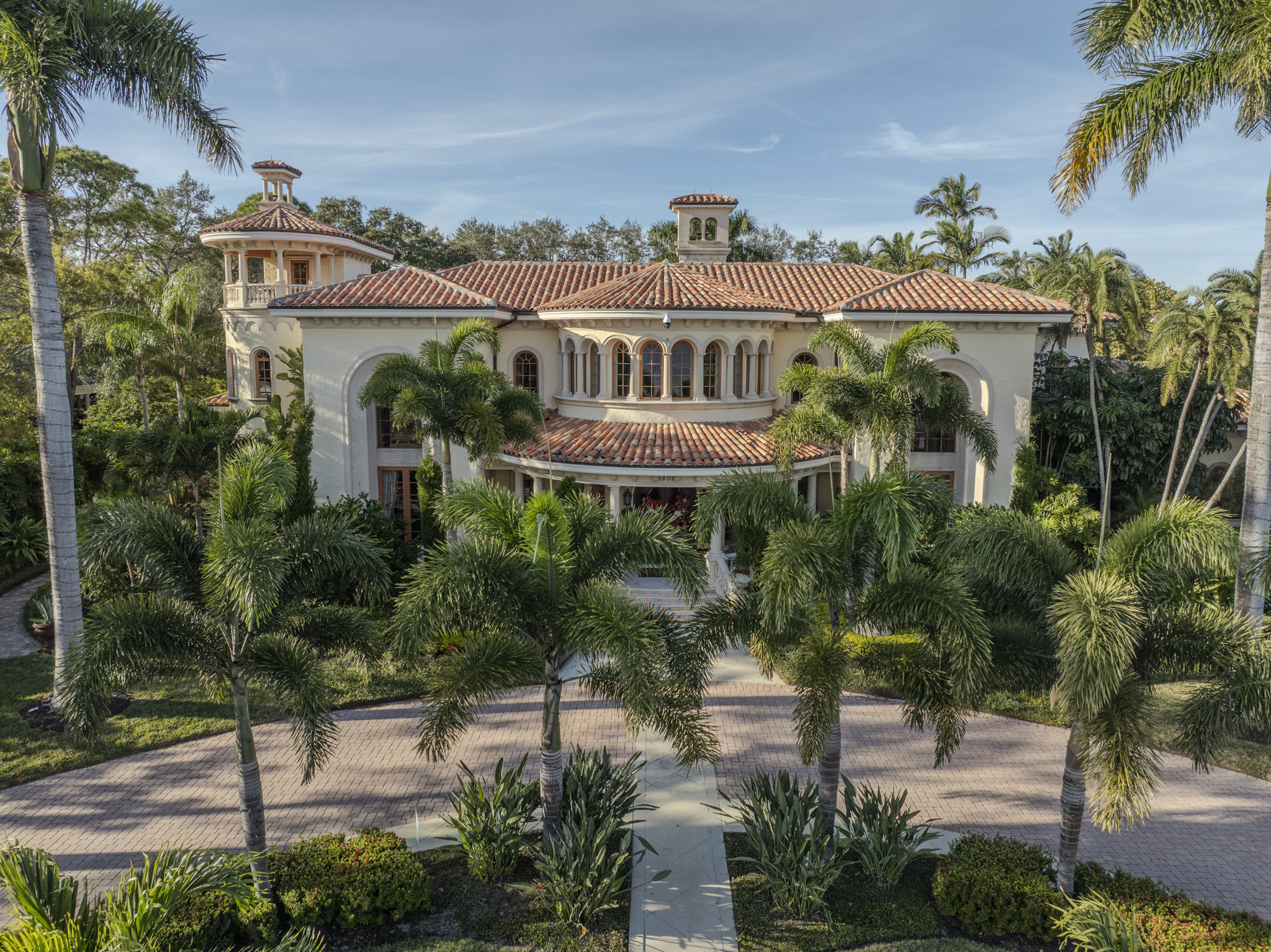
Marketing Video
Aerial photo and video for marketing commercial property and high-end real estate. Professionally edited and delivered ready to publish.
Edited 4K video and photos, formatted for your platform.